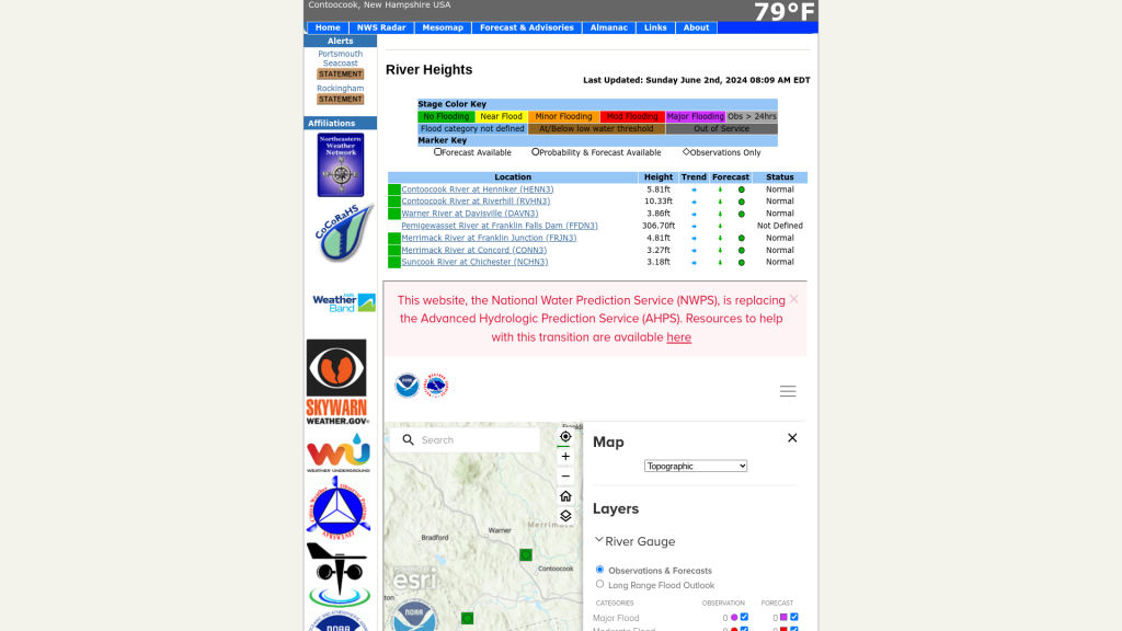
Thanks to Ken True of Saratoga-weather.org, an updated script to display river levels is in place. The NOAA has replaced a couple of older systems with inconsistent APIs and data formats with a new and improved system. Note that for the moment, you need to click to close the update message and the legend that take up half the display, but that should be temporary.

/
